| |
|
|
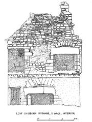
Elevations
Elevations are measured records of standing structures, such as buildings, walls or earthworks. Traditionally,
these have been done with manual optical survey instruments and pen and ink drawings, which although laborious
often produced excellent results. Today, elevations have been made easier and quicker by computer technology.
When you look at the side of a building, what you see will be affected by perspective distortion. The areas further
away from your viewpoint will seem smaller and the angles will slant away from your vision. Elevations eliminate
this effect by recording the structure on an even basis all over its surface. In order to achieve this, careful
measurements must be taken at frequent intervals. It is easier to do this simply on a small structure where you can
reach all parts of it by hand. For larger structures, theodolites are used to correct the angle of vision using
tacheometry. It is now possible to achieve this more quickly by using a computerised total station.
When it comes to recording the detail of an elevation, such as window apertures, stonework details or painted
decoration, each element must be drawn accurately. A technique known as photogrammetry has helped to speed this
up - a series of digital photographs are taken of a structure, which overlap to form a continuous record. The
distortion in each photograph is corrected using a computer programme, producing a composite and corrected
photograph of the elevation. This may act as a record in itself, or as an aid to producing an accurate drawing.
Return to Reconstructions.
|
|