| |
|
|
Sites and Monuments Records (SMR)
SMR stands for Sites and Monuments Record. This is a computerised database of information about the archaeology of
an area (usually a local government area such as a county, town or district), or a National Park.
The main purpose of an SMR is to provide the planning authority with a means of finding out quickly if a site or
area is of archaeological potential, so that it can recommend an archaeological response to a planning application
which may seek to develop the land. An additional purpose is to provide a record of archaeological information for
researchers and the general public. For towns, urban SMRs (known as Urban Archaeological Databases or UADs) have
been or are being developed. In some parts of the country, where historic buildings and other local history data
have been combined with archaeological information, the facility is called a Historic Environment Record (HER).
These, like SMRs, are linked to the appropriate National Monuments Record (NMR).
SMRs developed piecemeal in separate areas and there are still wide variations in content and coverage across the
country. In most cases they began many years ago, often in the local museum rather than the council planning office,
with a file of paper records (such as Ordnance Survey record cards) which gave each site a number, a simple location
by grid reference and a brief description of the site or monument and possibly also photographs, plans and drawings.
The numbers and locations were transcribed by hand onto OS 1:10,000 maps so that users could search the area they
were interested in.
More recently, computer technology has made SMRs simpler and quicker to use. Although previous paper records have
been retained, much of the written description has been transferred to computer databases, and can be printed out
quickly and easily in response to enquiries. Map and plan information, including plots of cropmarks and earthworks,
is now normally digitised and combined with database information in a GIS (Geographic Information System) which
allows fast and effective queries to be run on a wide range of data.
There are present moves afoot to establish common standards and practice in SMRs across the country, to enable the
information they hold to be more integrated and easier to use. County, District or National Park SMR officers are
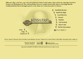
responsible for operating this service and receive specialist training in data management. Internet-based access
is becoming more and more important, through facilities such as PastPerfect, Keys to the Past and HeirNet. Before
long, researchers will be able to use powerful search facilities to investigate a wide range of information held
in many SMRs, from their own home or office computer.
Learn more:
Return to Research.
|
|